
Outstanding experiences a+
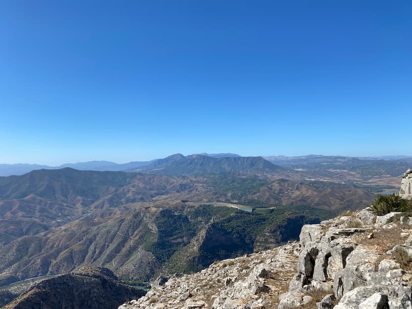
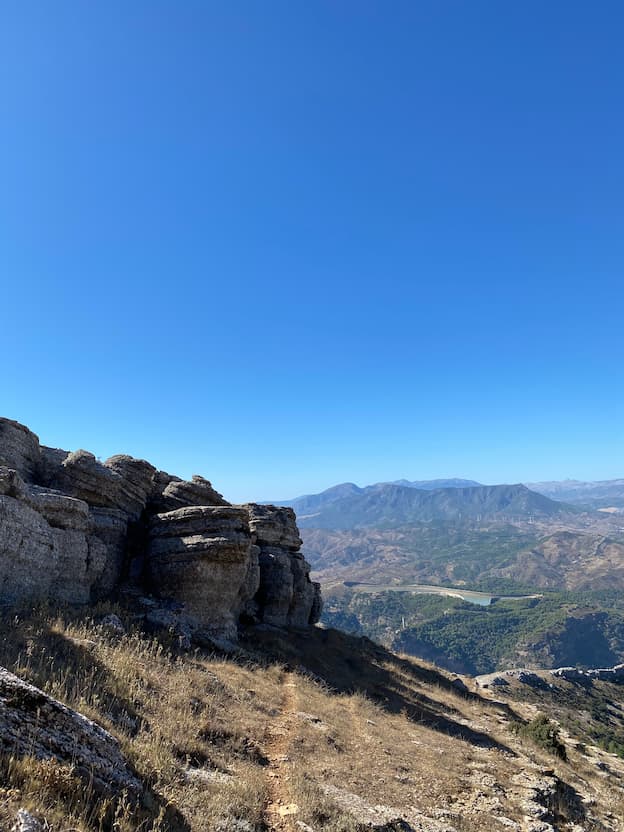
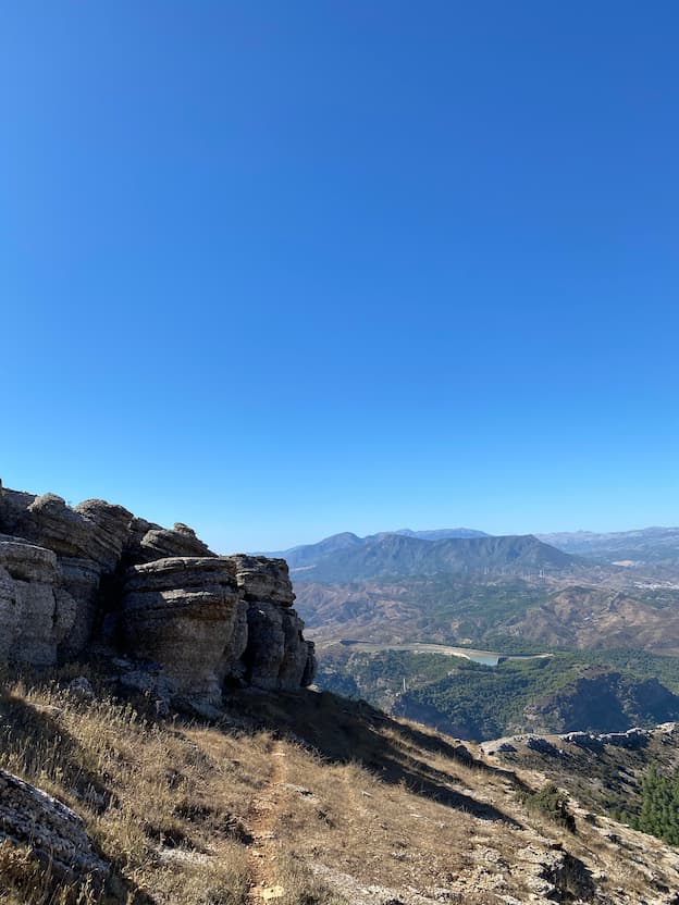
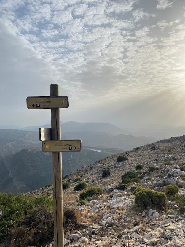
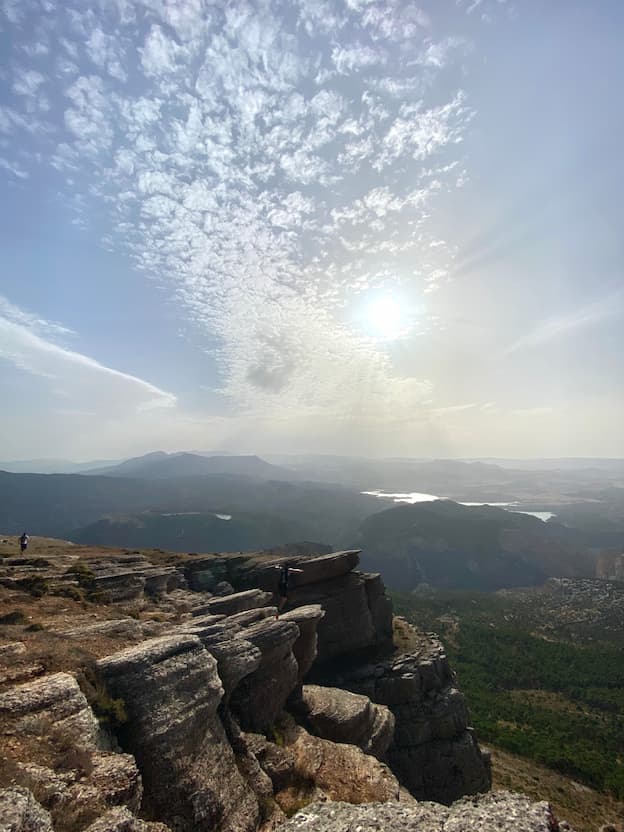
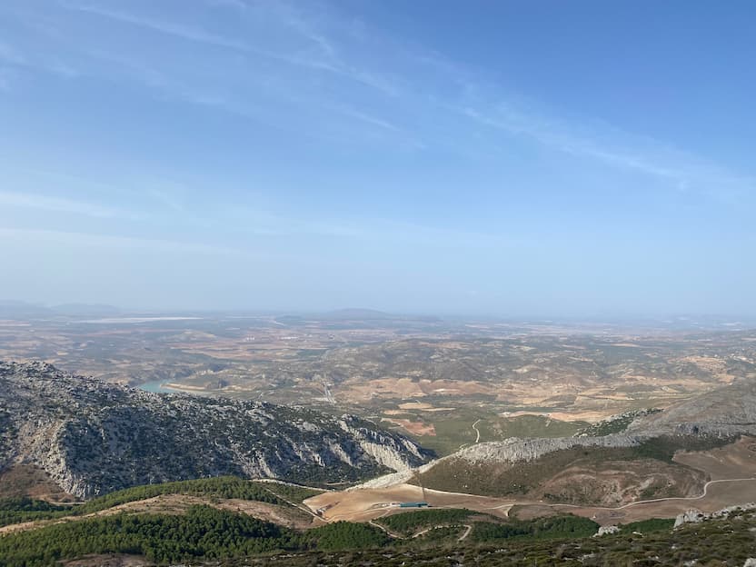
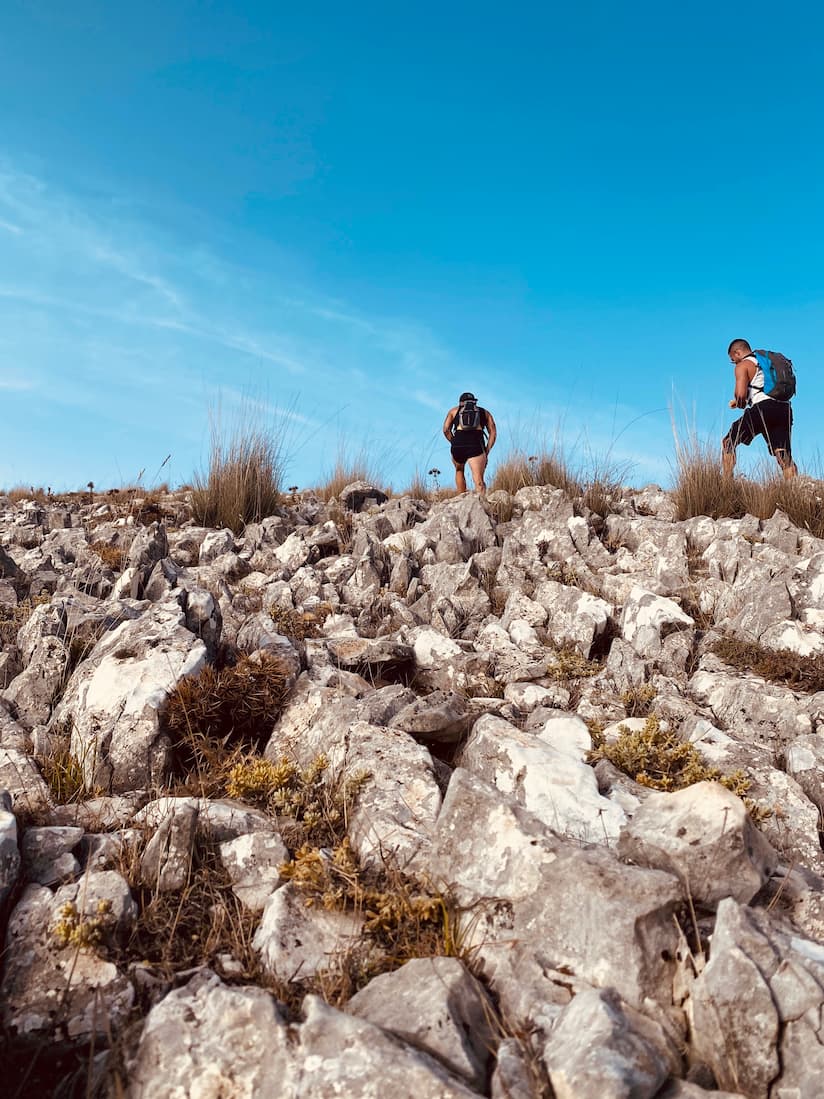
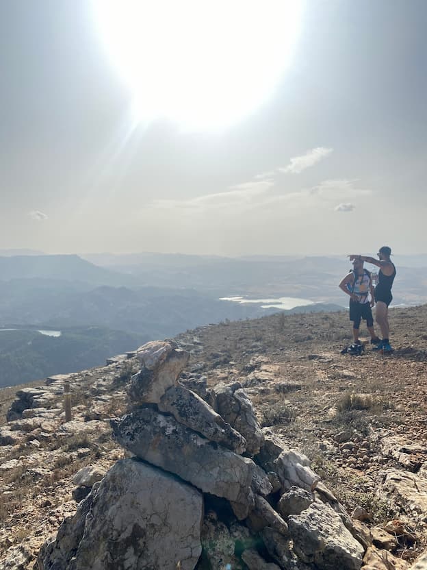
Pico Huma hiking route (El Chorro)
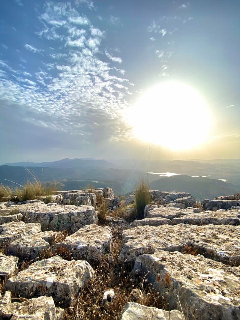
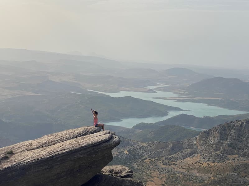
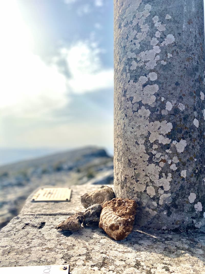
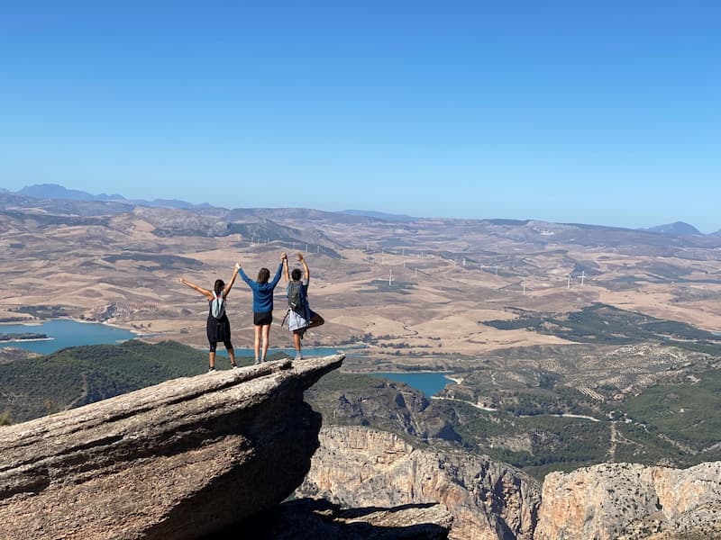
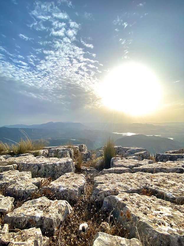
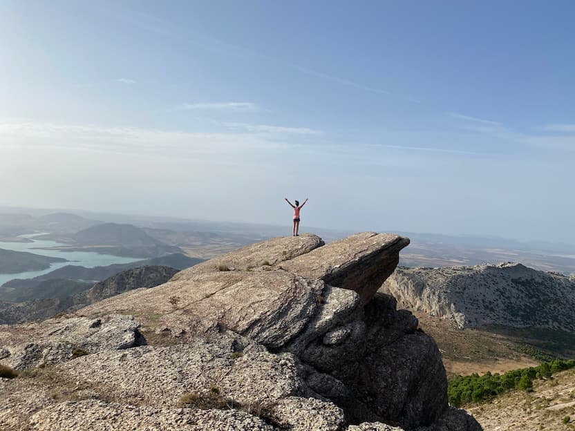
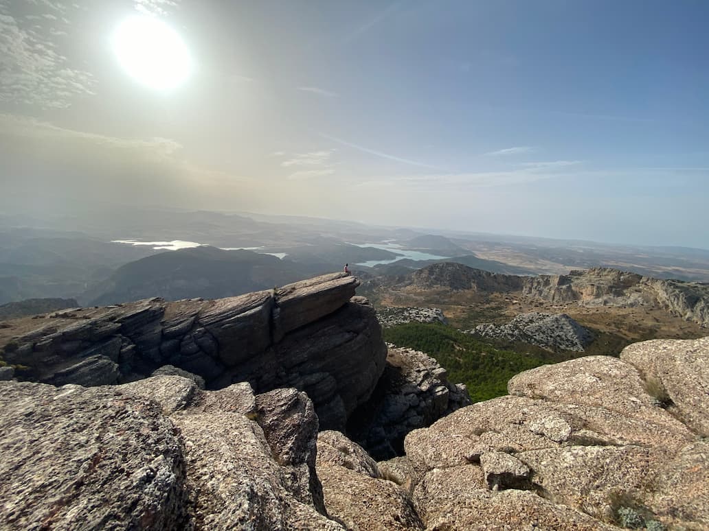
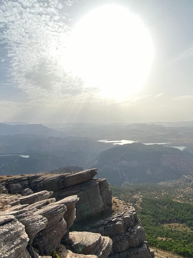
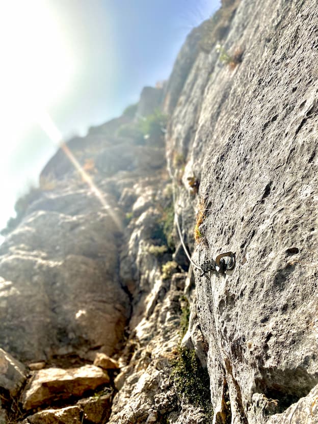
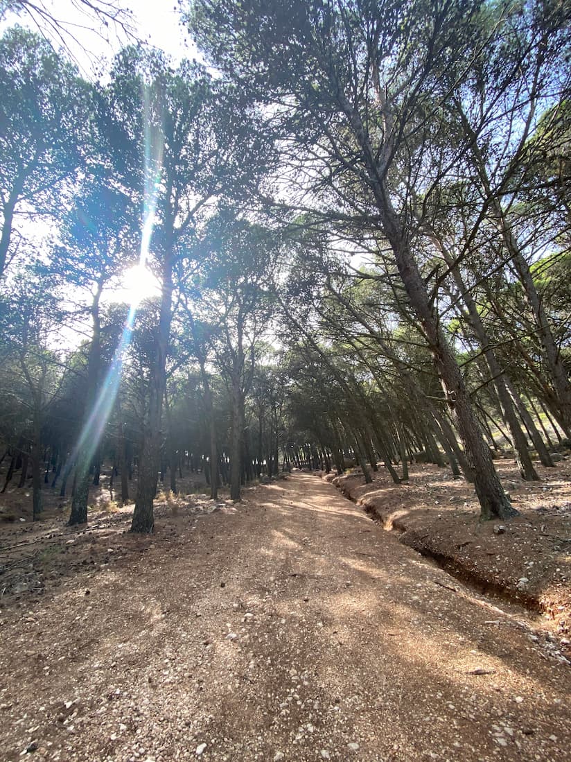
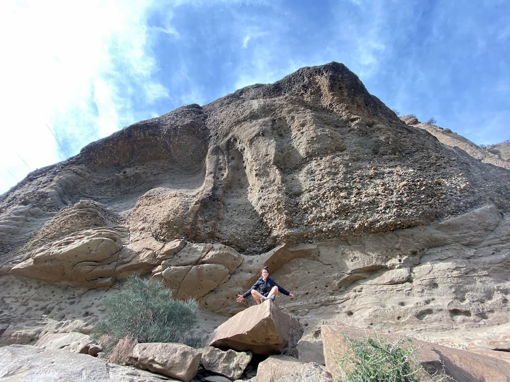
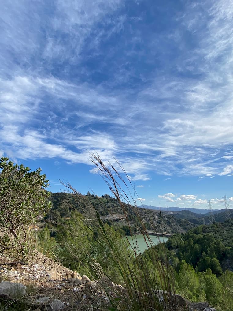
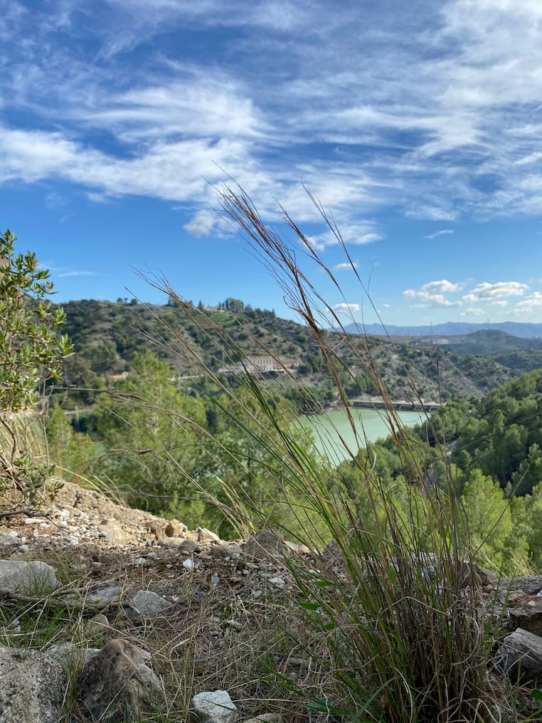
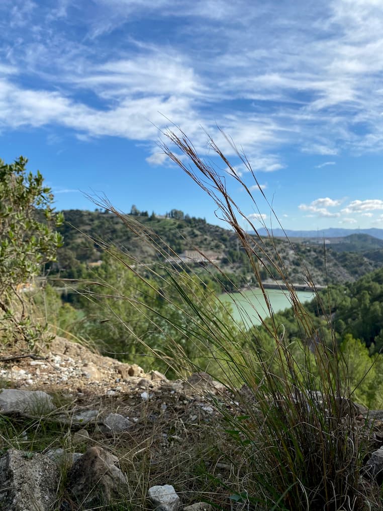
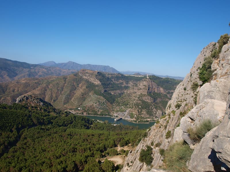
The best hiking route in El Chorro is the Pico Huma route, also known as "The balcony of Andalusia" since from its top you can see almost all of Andalusia. This hiking route, the most spectacular in El Chorro in Malaga, is considered a climb to the peak of the Sierra Huma, with a maximum height of 1,191 meters and a total of 13.35 kilometres. At its summit we can enjoy incredible views formed by the Pico Capilla to the east, the Camorro Alto, the Torcal, the Sierra de las Cabras, Peña Negra and the rest of the peaks of the Central Limestone Arc. In addition, this route is also remarkable for the presence of numerous fossils, especially ammonites. It is recommended to do this route during the autumn, winter and spring seasons.See moreFrequently Asked Questions Pico Huma Trail



Get to know the 5 best hiking routes in El Chorro
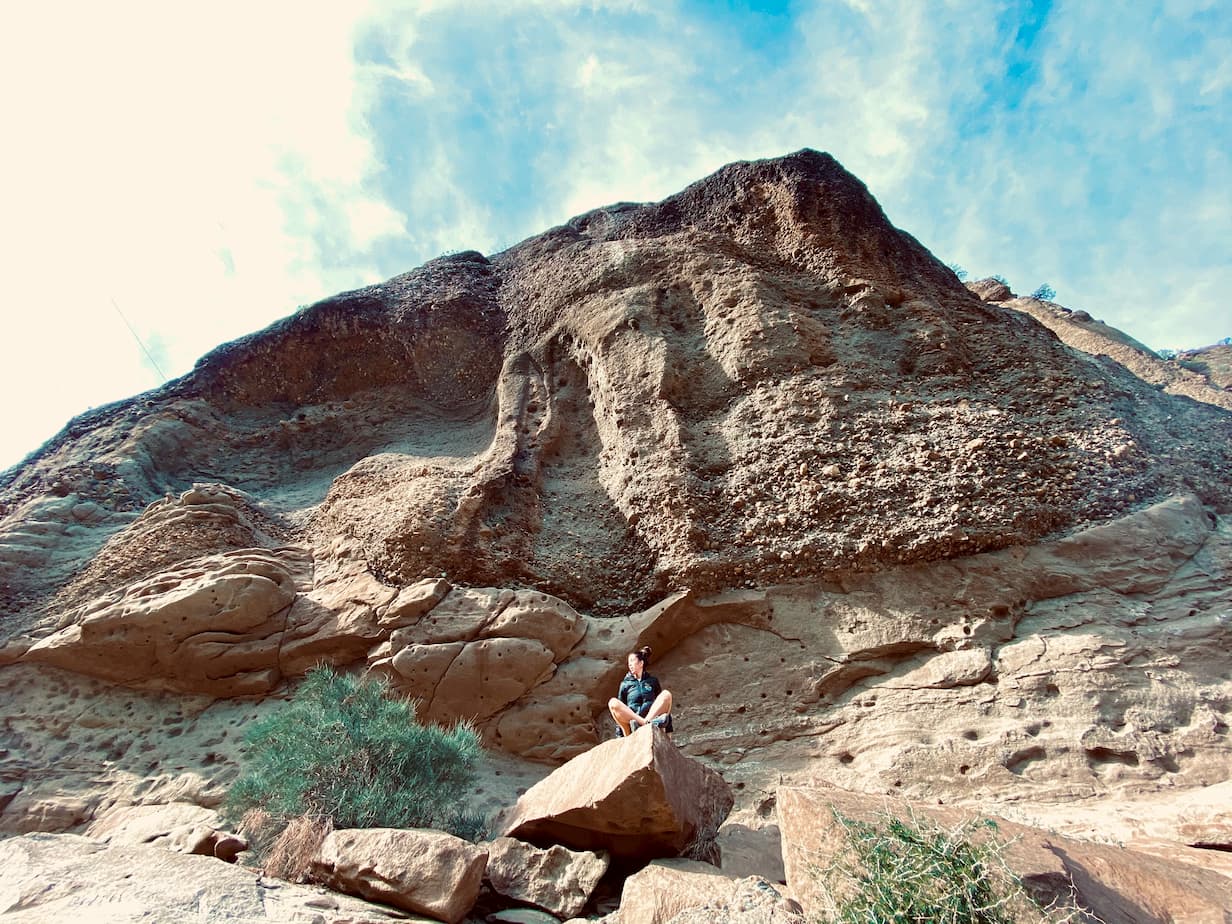
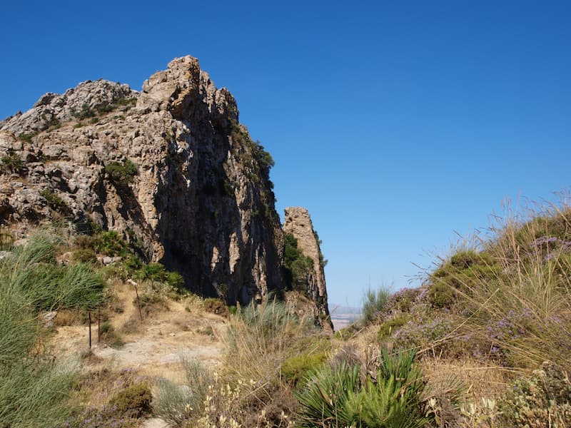
<p style=”text-align: center;”>El Chorro is considered by many to be one of the most complete and spectacular places in Andalusia, thanks to its great diversity of options in terms of adventure sports and excursions, and its natural beauty that attracts lovers of photography and good landscapes. But do you know the best hiking routes in El Chorro?</p>
Cañada del Lobo
Pico Huma
Gran Senda
Escalera árabe
Ruta Mirador
Hiking route the Cañada del Lobo (El Chorro)
The first of the two hiking routes in El Chorro that we are going to talk about is the so-called route in the Cañada del Lobo in El Chorro. We start with a route suitable for anyone, habitual to hiking or not, but that will not leave anyone indifferent. Our route to Cañada del Lobo begins after crossing the bridge of the Tajo de la Encantada dam, we take the road to the right and before reaching the power station we start our way.
It is a circular route of 12.5 kilometers, it is not very difficult, so it is prepared for novice hikers, we just have to pay attention to the unevenness.
What do I need to run the Cañada del Lobo hiking route?
Although this track is prepared for inexperienced people, we must take into account that there is no establishment, so we must bring water and food, if necessary, appropriate footwear for the mountains and pay special attention on some road sections. It is important, as in every hiking route, to bring water, food with sugar and suitable footwear for long journeys.
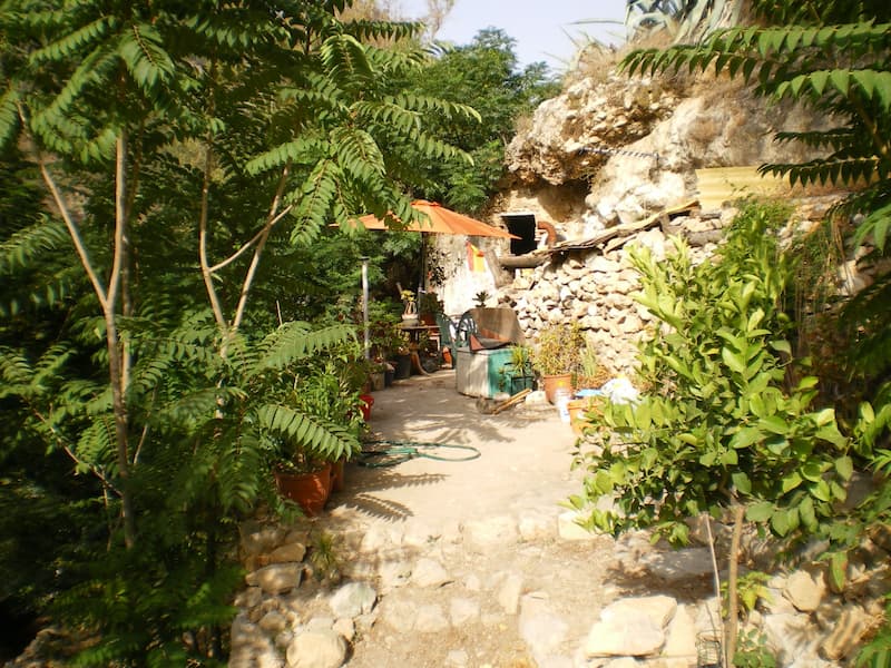
During the tour we will be able to observe structures as incredible as the houses excavated in the stone where the Mozarabs, Muladíes and Arabs lived who settled around the citadel, now disappeared, between the 9th and 10th centuries.
We can also observe the wonderful views of the Sierra Huma and the Guadalhorce Valley, it is recommended to do this route during the spring, autumn and winter seasons.
Steps and indications of the hiking route to the Cañada del Lobo
1. Start of Canada del Lobo El Chorro
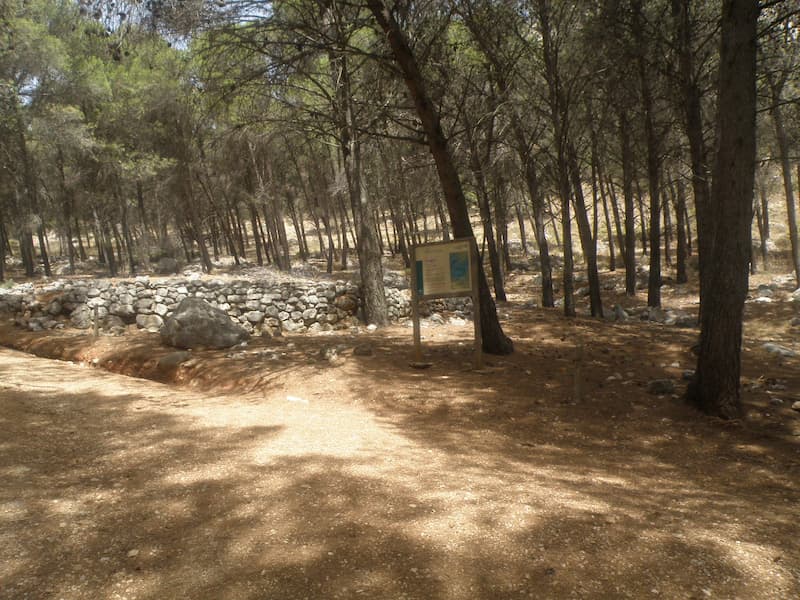
We start from the La Garganta Rural Tourist Complex and head towards the Álora road. After crossing the bridge over the Tajo de la Encantada dam, we take the road to the right, in the direction of the Power Station. A little over three hundred meters away, before reaching the Center, we will see the beginning of a path on our left, we can see an information panel and a direction indication to Ardales.
2. Chain crossing
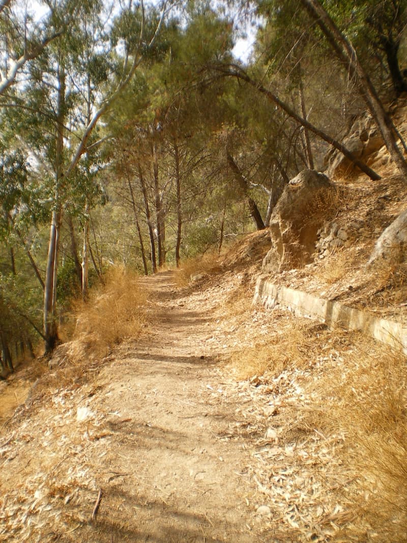
We will go up the path, through the ravine known as “Cañada del Lobo”. When we get to the top, at the foot of the retaining wall of the reservoir that is located at the top of Mesa de Villaverde, we head to the right skirting the wall until we reach the paved track. We will continue to the right going down until we find a crossroads on the left with a chain, that is our path.
3. Road crossing
Continuing along the lane, always bordering the reservoir, we will reach the road, before passing by the dunghill (scavenger bird feeder).
4. Rock church of Bobastro
At this point, we have the option of visiting the ruins of the Mozarabic church of Bobastro, contemplating that we would add an additional two kilometers to our tour. To do this we go down the road to the right, approximately one kilometer away we will find a wooden booth where they will give us information and we can buy the ticket (it is recommended to check visiting hours beforehand). Then we will retrace our steps until the crossroads where we reached the road to continue our journey towards the cave houses and the viewpoint.
5. Access to cave houses
Located at the crossroads of the lane we go up the road bordering the reservoir. After a little more than a kilometer, after leaving a house on our left and after a couple of curves, we will see next to the road, on the edge of the ravine, a cement monolith. Here we have a step through which we can go down.
6. Cave house
On this mountainside you can see the structures of the houses excavated in the stone, stairs, caves and cavities that served as homes for the Mozarabs, Muladis and Arabs who settled here around the citadel, now disappeared, the center of the Omar ben Hafsún’s rebellion against the Caliphate of Córdoba between the 9th and 10th centuries.
7. Sierra Huma Viewpoint
After visiting the caves, we return to our steps, to the road that takes us to the Mirador del Tajo de la Encantada, where we can contemplate extraordinary views of Sierra Huma and the Guadalhorce Valley at our feet.
8. return
To return we return along the road until we reach the house next to the reservoir, here we go down a path, leaving the house on our right, up to the road that borders the reservoir. Continuing in the same direction we come to some pine trees where we will take a path that goes down next to the wall of the dam.
We go down the same ascent path following the signs for the GR7 to the Power Station, and return to El Chorro.
Request information about our hiking services
[contact-form-7 id=”50612″ /]